Facilities and Resources

Artist rendering of Blunt Hall.

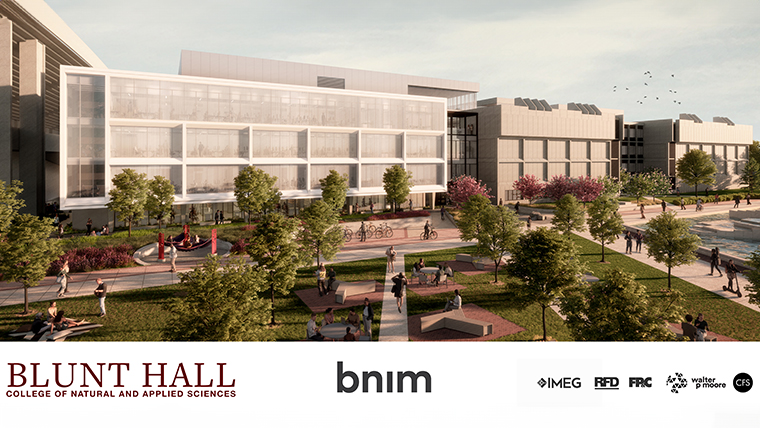
Our home: Roy Blunt Hall 

We’re located on the third floor. We have the tools and equipment to enhance your education.

Grow your skills through hands-on training. Take part in government-funded research projects.

Gain insight into modern cartography, geographic information systems (GIS), remote sensing and more.

Tools for your learning

Computer screen displaying geospatial information.

Computers and software

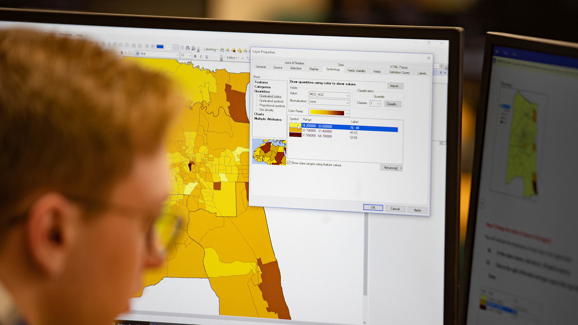
You’ll use the latest technology available.

  • Comprehensive ArcGIS platforms, including Desktop and Web
  • Remote sensing programs, such as ENVI and Feature Analyst
  • Seismic modeling programs
  • Commercial and in-house programs to analyze and model data.
    • CrystalMaker
    • Oasis-Montaj
    • IgPET
    • Intrepid
    • Iolite
    • Winglink
    • Earthimager
    • Radexplorer
    • Phoenix
    • PetrosEikon

Research and surveying equipment

Want to be a geoscientist? We have the tools the pros use.

  • Geochemical instruments
    • Laser ablation ICPMS
    • X-ray florescence (hand-held)
    • Spectrofluorometer
  • Geophysical equipment
    • Burris gravity meters
    • Magnetometers (Geometrics Proton Precession and Cesium sensors)
    • Electrical resistivity imaging system (ARES)
    • VLF-EM receiver (ABEM)
    • 24-channel seismic system (Geode)
    • Ground penetrating radar (Mala)
    • Broadband magnetotelluric system (Phoenix)
    • Electromagnetic system (GSSI)
    • Magnetic susceptibility meters (Barrington handheld and lab)
  • Rock preparation/Crushing equipment
    • Rock density meter
    • Rock saws, thin-section equipment, sieving equipment
  • Petrographic microscope/digital imaging system
  • DJI Phontom 4 Professional small, Unmanned Aerial Systems (aka drones)
    • Macropod Pro 3D Imaging and Focus Stacking System
  • Wet chemistry facilities (mineral separation, acid digestion, etc.)
  • Global position systems (GPS), including differential receivers (Topcon, Trimble)
  • Electronic distance measuring equipment
  • Surveying equipment

Geospatial facilities

Discover our labs for GIS, cartography and remote sensing analysis.

Use the computers, printers, plotters and digitizers to aid your studies.

Through our reviews and updates, you’ll have access to the best software possible.

Meyer Library

Home to Missouri's only United Nations document depository. Go here for research help and resources.

Meyer Library also hosts an extensive maps collection. You can find cartographic materials such as:

  • Aerial photographs
  • Atlases
  • Geographic reference works
  • Globes
  • Maps
  • Travel information