Geospatial Sciences Undergraduate Program

Faculty member, in a classroom, pointing out an important image and/or concept on a large screen.

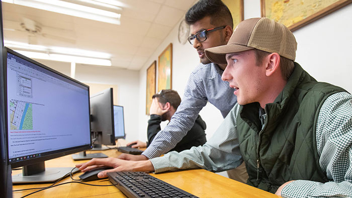
Use data to connect and locate

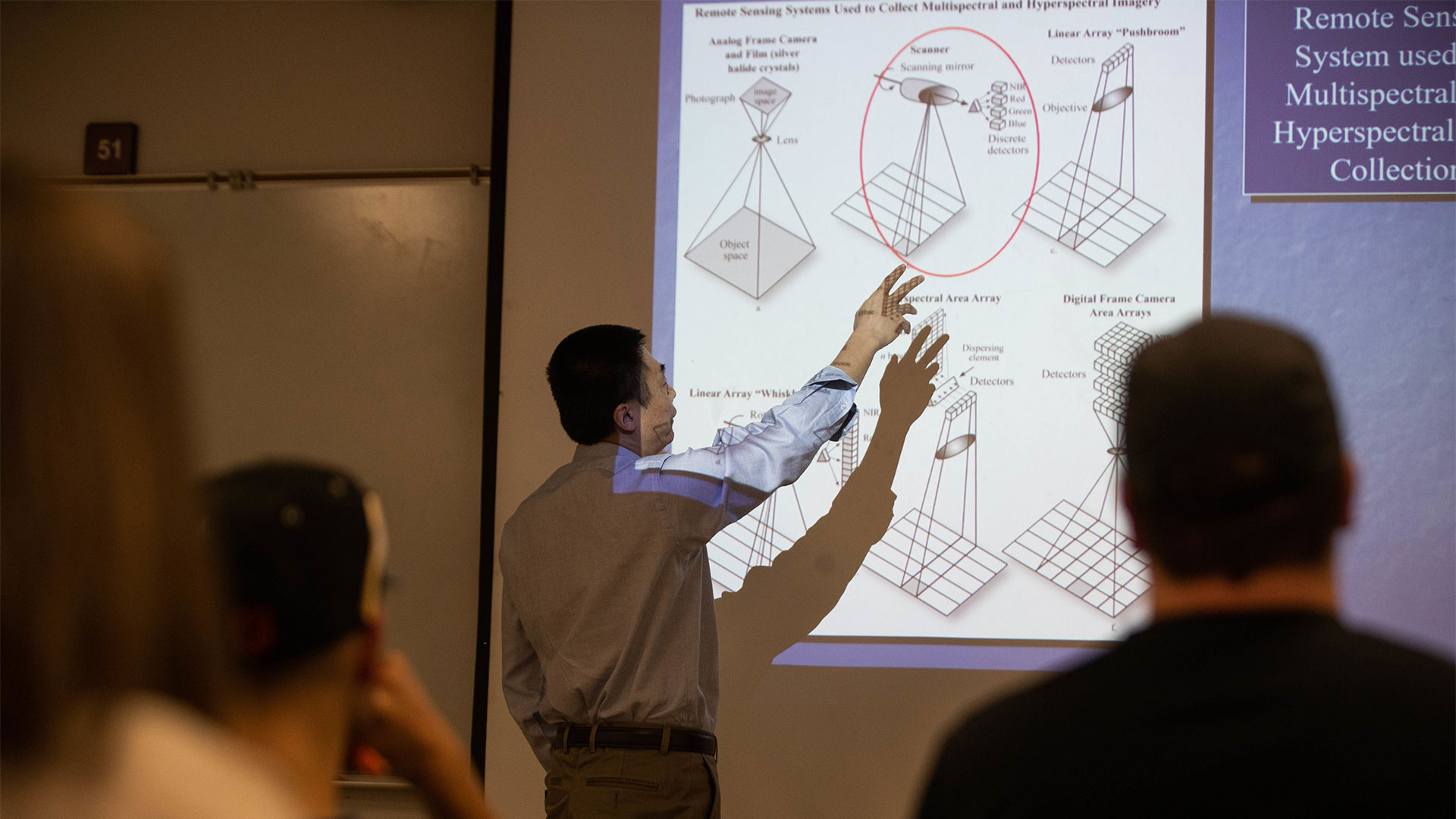
Blend technology with map-making and geography. Create models, maps and designs to the finest detail.

Degree options

Want to major in geospatial sciences? Review the program requirements for the exact courses you need to take.

Use the four-year plan below as a guide for your overall schedule.

Add a related certificate

Certificates give you greater training and skills for your future career. 

Student assisting another student with something on a computer monitor.
Use software and tech to map the world. Help people make decisions based on data.

Why major in geospatial sciences at Missouri State?

  • Increase your all-around mapping skills: distance, area, depth and more. Get prepared for jobs that use geospatial information systems, remote sensing and cartography.
  • Join a program created with help from government agencies and private firms. Ensure that you’re getting the education you need for this field.
  • Enjoy hands-on training. Take field trips and internships offered through the department and private firms.
  • Our facilities include a drone system, photogrammetric software and hyperspectral cameras.

Helping you succeed

Make a smart investment in your future. Access financial aid and friendly support.

Immersive academics

Get ready to meet your next mentor. You'll be prepared, confident and ready for your career.